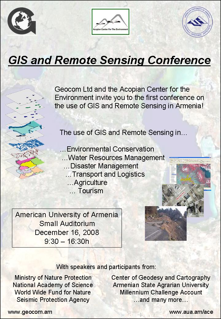
GIS and Remote Sensing
Archive
 | Date: December 16, 2008 Event Type: Conference Venue: American University of Armenia |  |
 Acopian Center for the Environment
GIS Solutions for State and Private Enterprises- Geocom Ltd
The first conference on the use of GIS and Remote Sensing in Armenia was a big success. Geographic Information Systems (GIS) are highly sophisticated computer programs which are used to analyze and store spatial data, produce maps, and make prognoses. They are being applied in a wide range of sectors and are state-of-the-art technology used worldwide. The conference was jointly organized by the AUA Acopian Center for the Environment and Geocom Ltc. It attracted more than 40 participants from private GIS companies, state agencies, universities, major NGOs and international organizations. The presentations covered a wide range of important subjects, such as the use of GIS in the field of forest management, disaster management, water and waste water management, and geochemical pollution monitoring. It was the first time that GIS stakeholders from Armenia met over such an event and it was a great opportunity for improved cooperation among institutions working in the same field. All participants agreed that the conference shall be repeated in the following years.
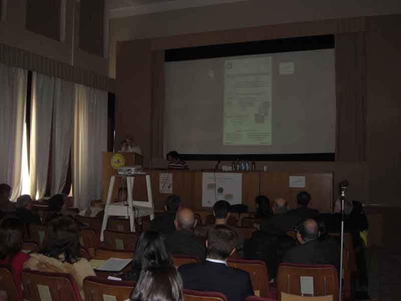 | 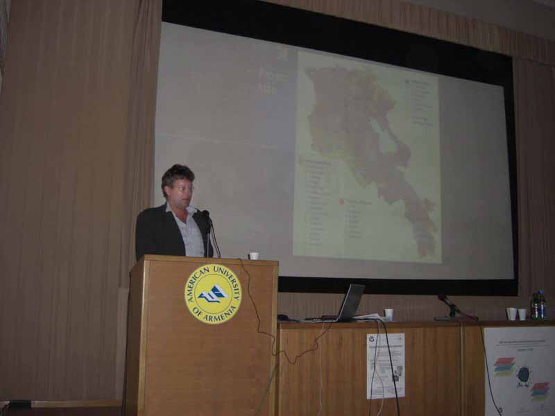 |
| Fig.1: Meike Schaefer (ACE) delivering the opening speech at the GIS conference | Fig. 2: Mr Braxein from MCA Armenia presents findings from the irrigation project |
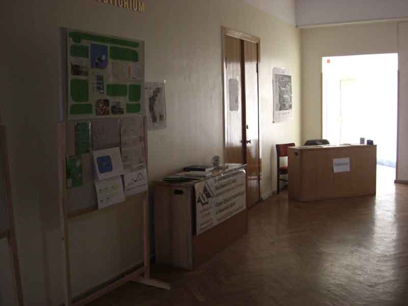 | 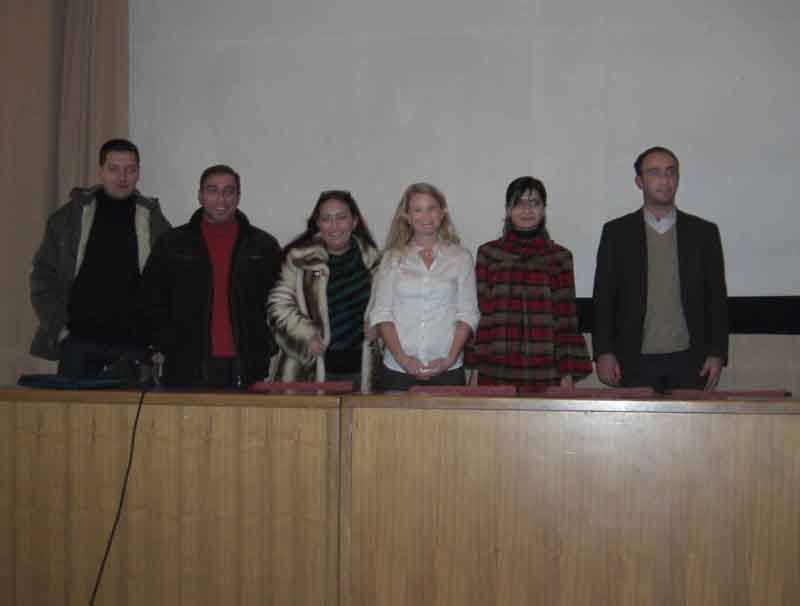 |
| Fig.3: Hallway decoration and reception area | Fig.4: The organizers of the conference (Geocom staff and Meike Schaefer) |
Participating organizations:
| ACDI/VOCA |
| Armenia Tree Project |
| Armenian Agricultural Academy – Forestry Department |
| Armenian Society for the Protection of Birds |
| Armenian Water and Sewerage Company (AWSC) |
| AUA (AmericanUniversity of Armenia) |
| Center for Ecological Noosphere Studies of National Academy of Sciences (Ecocenter) |
| Environmental Impact Monitoring Center (EIMC) |
| Forest Monitoring Center |
| German Embassy |
| German Technical Cooperation – GTZ |
| Locator Ltd |
| Millenium Challenge Account |
| Ministry of Nature Protection – Department of Protected Area Management |
| National Academy of Science |
| OSCE |
| Seismic Protection Agency |
| UNDP |
| WWF Caucasus (World Wide Fund For Nature) |
| YSU (Yerevan State University) |
