2015 Summer Graduate Courses at AUA on GIS and Remote Sensing
NOTE: This course satisfies the AUA graduate degree environmental requirement
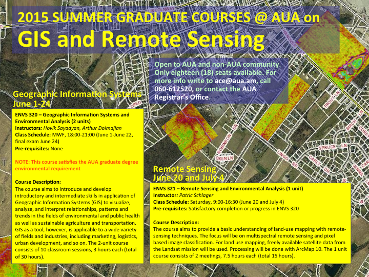
Course Description: The course aims to introduce and develop introductory and intermediate skills in application of Geographic Information Systems (GIS) to visualize, analyze, and interpret relationships, patterns and trends in the fields of environmental management, public health, sustainable agriculture and transportation. GIS as a tool, however, is applicable to a wide variety of fields and industries, including marketing, logistics, urban development, and so on. Students will also learn to use Global Positioning System (GPS) units to collect spatial data.
Course Description: The course aims to provide a basic understanding of land-use mapping with remote-sensing techniques. The focus will be on multispectral remote sensing and pixel based image classification. For land use mapping, freely available satellite data from the Landsat mission will be used. Processing will be done with ArcMap10 or similar software.
For more information about the course and registration please contact us by phoning at 060 61 25 20 or 060 61 26 38 or visit AUA Registrar’s office.